Overview
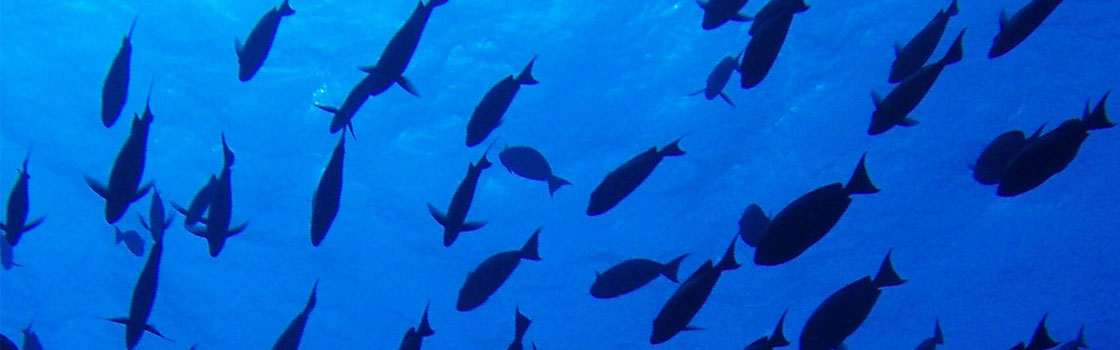
The fishery being assessed is StarKist Atlantic Ocean longline tuna fishery. The fishery targets albacore (Thunnus alalunga) tuna, bigeye (T. obesus) and yellowfin (T. albacares) tunas. The pelagic longline vessels are flagged to Taiwan, St Vincent, Senegal, Panama and Belize and fish on the high seas (and occasionally in the national EEZs) in the Atlantic. The fishery is managed regionally by the International Commission for the Conservation of Atlantic Tunas (ICCAT) in the Atlantic Ocean.
The fishery being assessed is StarKist Atlantic Ocean longline tuna fishery. The fishery targets albacore (Thunnus alalunga) tuna, bigeye (T. obesus) and yellowfin (T. albacares) tunas.
Sustainable Fish Stocks – To ensure tuna and other primary species catches across the Atlantic Ocean do not exceed sustainable levels by 2025.
Minimising Environmental Impacts – To promote the ecosystem-based approach to fisheries management by 2025.
Effective Management – To strengthen governance systems in Flag States, RFMO and the fishery by 2025.
Be in a place to enter MSC full assessment in 2025.